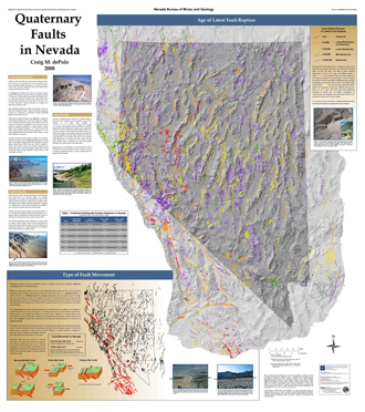
Quaternary Faults
in Nevada, NBMG Map 167
ESRI ArcMap software
1:1,000,000-scale wall map
Second place cartography
and layout, Nevada
Geographic
Information Society, 2009
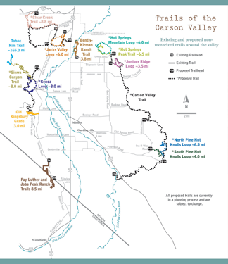
Trails of the Carson Valley
Adobe Illustrator software
page-size map
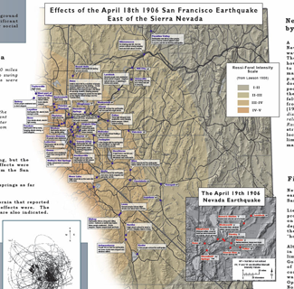
Effects of the April 18th,
1906 San Francisco Earthquake
East of the Sierra Nevada
Adobe Illustrator software
(part of presentation poster for centennial anniversary of the 1906 San Francisco earthquake)

Fay-Luther Trail System
Adobe Illustrator software
Trailhead panel map
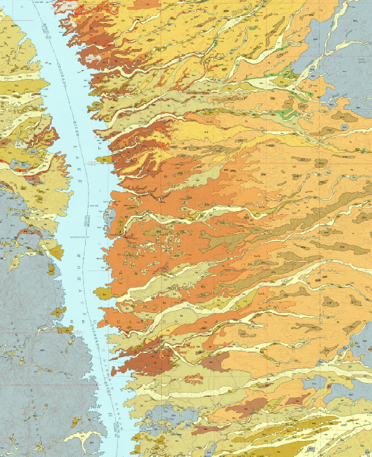
Map portion of Preliminary Geologic Map of Late Cenozoic Deposits in the Spirit Mtn. SE Quadrangle, Clark County, Nevada and Mohave County, Arizona, NBMG OF08-3
ESRI ArcGIS software
1:24,000-scale
Data provided by map authors
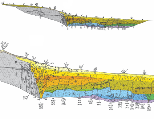
East Carson Valley Fault System
Trench Log
Adobe Illustrator software
45" x 20"